
BETHLEHEM, Pa. — Here we go again.
Forecasters say a weekend storm not only will bring active weather, windy conditions Sunday and Monday are likely to bring isolated instances of tree damage and power outages to the Lehigh Valley.
It comes a little more than a week after a windstorm left thousands of PPL and Met-Ed customers without power.
High winds pummeled the region Feb. 28-29, leaving thousands in the dark in Lehigh and Northampton counties.
In mid-January, wind gusts up to 45 mph also toppled poles and ripped down power lines, with outages affecting more than 13,000 homes in the area.
The setup
“Guidance is in reasonable agreement regarding a surface low currently developing in Texas [and] tracking northeastward and passing northwest of the area Sunday night,” the National Weather Service said in its latest forecast discussion.
The good news is that the storm won’t quite get a full negative tilt, the discussion said, referencing a sign of a developing or intensifying system.
While the storm is expected to be progressive, there’s a chance for isolated flooding given how wet conditions already are, with 1.48 inches of rain in the Allentown area so far this month on top of heavy snow melt at the end of February.
In his latest video forecast, EPAWA meteorologist Bobby Martrich said rain would arrive Saturday afternoon and move out before sunrise Sunday morning.
EPAWA's 3/8 and week ahead outlook, covering:
— Bobby Martrich | EPAWA (@epawawx) March 8, 2024
■ A nice day expected in between systems Friday
■ Timing of the rain arrival and departure Saturday
■ Windy/cool through Monday, warming thereafterhttps://t.co/TJ0czjMv63
The area is under a marginal risk for excessive rainfall, with amounts close to an inch likely in many locations.
“This could come down heavily Saturday evening and high rates may require flood advisories regardless,” the weather service said, flagging the possibility of embedded thunderstorms for a good chunk of the region.
Then there’s the wind
“As with many warm advection wind events, guidance appears to be running hot, but gusts in the 30 to 40 mph range look like a decent bet with stronger winds right at the coast possible,” the weather service said.
It held off on wind advisories for Saturday night, but said they’ll likely be needed for Sunday and Monday.
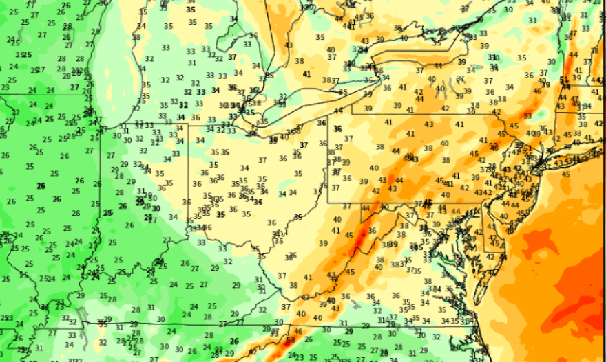
Gusts are expected to approach 40 to 50 mph across the region late in the day and into Sunday evening, with area-wide wind advisories expected.
Try to enjoy today if you have the chance, as it'll be the most tranquil of the next 4. Tidal flooding is an increasing risk thru Saturday night. Rain moves in Saturday, heavy at times with t-storms possible Saturday night, then very windy Sunday and Monday. pic.twitter.com/F5JVtxZqxI
— NWS Mount Holly (@NWS_MountHolly) March 8, 2024
Martrich said the most prominent wind would be during the daylight hours both days, but Monday could really see winds ramp up.
The Poconos also could see some snow showers on the back end of the system, with the possibility that flakes fly further southeast.
“In any case, we’re in for a wild ride, which isn’t quite done by the end of the weekend,” the weather service forecast discussion said.
