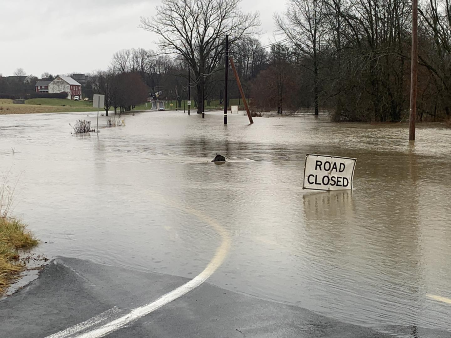
BETHLEHEM, Pa. — When excessive rain falls, the region typically sees flooding of rivers, creeks, streams and other low-lying and flood-prone locations.
The following are parts of Lehigh and Northampton counties that have experienced flooding during previous heavy rainstorms:

Allentown:
- Hamilton Boulevard from Ott Street to Hamilton Street bypass
- South St. Elmo Street from Martin Luther King Jr. Drive to Union Street
- Walnut Street from Lafayette Street to the Bridge on St. Elmo
- Auburn Street from S. 5th Street to Basin Street
- Mack Boulevard from Dixon Street to Juniata Street
- Dixon Street from Mack Boulevard to S. 7th Street
- Public Road from S. 5th Street to S. 8th Street
- Sumner Avenue from North Meadow Street to Ridge Avenue
- S. 12th Street at Vultee Street to Downyflake Road
Macungie area:
- Spring Creek Road
- Sauerkraut Lane between Wild Cherry and Macungie roads
- Wild Cherry Lane between Sauerkraut Lane and Lower Macungie Road
- Lehigh Street, Macungie
- Cetronia Road -Trexlertown Road to West Grange Road
- Willow Lane, Lower Macungie
Salisbury Township:
- Lehigh Street at 33rd St. Southwest (in front of South Mall)
Bethlehem/Bethlehem Township:
- Route 378 Southbound
- Industrial Drive at Avenue B
- Conestoga Street
- Fire Lane
- Mauch Chunk Road
- Easton Avenue and Santee Road
- Easton Avenue and Willow Park Road
- Plus, the Monocacy Creek likely will inundate the historic area downtown
Catasauqua:
- Around Hokendauqua Park / Lehigh Street
Easton area / Forks:
- Bushkill Park / Bushkill Creek
- Lehigh Drive along the Lehigh River and Delaware Drive (Rt. 611)
- South Side by Line Street and Centre Street
Slate Belt:
- Bangor Road
- Messinger and Lower South Main streets in Bangor
Upper /Lower Saucon townships:
- Lanark Road in the area of West Saucon Valley Road in Upper Saucon
- Springtown Hill Road between Orchard and Lower Saucon Roads
Residents can monitor river and stream gauges via the National Weather Service Mid-Atlantic River Forecast Center at www.weather.gov/marfc or by downloading the FloodWatch app on a smartphone.
To view or report Met-Ed power outages, go to https://firstenergycorp.com/outages_help.html.
To view or report PPL power outages, go to https://www.pplelectric.com/site/Outages-and-Issues
Non-emergency phone numbers:
- Lehigh County, 610-437-5252
- Northampton County, 610-759-2200
Pennsylvania Emergency Management Agency Director Randy Padfield reminds residents they can register for free emergency and weather alerts at AlertPA.
Roadway conditions and closures throughout the Lehigh Valley can be monitored at https://511pa.com/