
BETHLEHEM, Pa. — Here we go again.
Already above its December snowfall average, the Lehigh Valley is expected to add a little more to that total this week.
Light snow is likely to develop across the region late tonight into Tuesday morning, forecasters say, bringing a coating of snow — and perhaps a glaze of ice — to parts of the region.
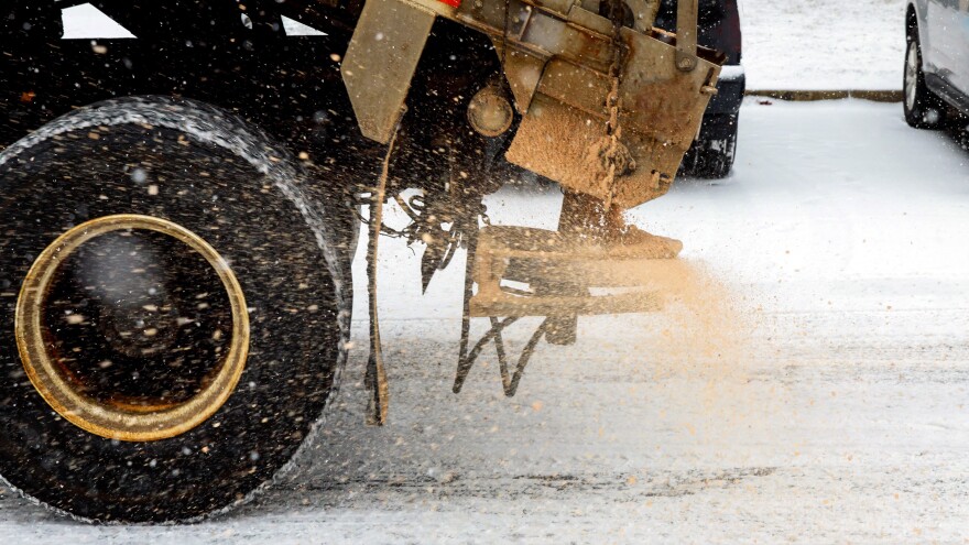
The National Weather Service said while it’s not a major system, folks should be mindful of the potential for slippery roads through the morning commute.
❄️🧊 No major changes to the forecast for the light snow and ice potential after midnight tonight through Tuesday morning. A dusting less than 1" possible down into the Philly metro. Best chance of 1-3" of snow and a glaze of ice is north of I-78. #PAwx #NJwx #DEwx #MDwx pic.twitter.com/sxG2FOk2gs
— NWS Mount Holly (@NWS_MountHolly) December 22, 2025
System will be fighting dry air
Allentown’s average December snowfall is 4.6 inches, but ahead of this system the area already has seen 6.4 inches of snow and ice so far this month.
Forecasters say clouds will increase overnight, with temperatures falling into the mid-20s to low 30s.
Cold, dry air near the surface will remain in place overnight, meaning the system will need to overcome that dry air before snow can reach the surface.
As a result, snow may be slow to develop and lighter overall in some areas.
Any snow that falls is expected to begin before dawn Tuesday. Snow chances are highest near and north of Interstate 78, while areas farther south may see little or no measurable snowfall, the weather service said.
In the Lehigh Valley, accumulations are expected to stay under an inch, with about an inch possible in a worst-case scenario.
Areas north of the I-78 corridor, including the southern Poconos, have the best chance of seeing 1 to 2 inches of snow.
“The usual higher elevations of northern New Jersey and eastern Pennsylvania could see isolated amounts as much as 3 to 4 inches of snow in a reasonable worse case scenario,” the NWS forecast discussion said.
But the probability of that scenario is low (less than 20%) and will be conditional on exactly how much moisture is available with this weak system.
Christmas expected to be dry
Even with light amounts, snow during the Tuesday morning commute could create slick spots on roads.
In some areas, there also is a chance for a light glaze of ice if precipitation briefly changes to rain before temperatures rise above freezing.
All precipitation should taper off by late Tuesday morning, forecasters say, with any lingering precipitation ending around noon.
Temperatures then will rise slightly through the afternoon.

Seasonable temperatures and breezy conditions are expected to follow heading into Christmas Eve, with no significant weather on Christmas Day.
But beyond that, another chance for wintry precipitation could arrive this weekend.
