BETHLEHEM, Pa. — The Lehigh Valley's last snowstorm had plenty of time to overstay its welcome before temperatures finally stepped in with a mop and bucket this week.
But as the most recent blanket of snow rapidly melts away, Mother Nature appears ready to test the region’s patience all over again.
Just as sidewalks, streets and parking lots are finally clearing, another winter storm is lining up for Sunday into Monday.
The National Weather Service said confidence is growing that the region will see accumulating snow from the next system, though exactly how much remains very much up in the air.

The latest
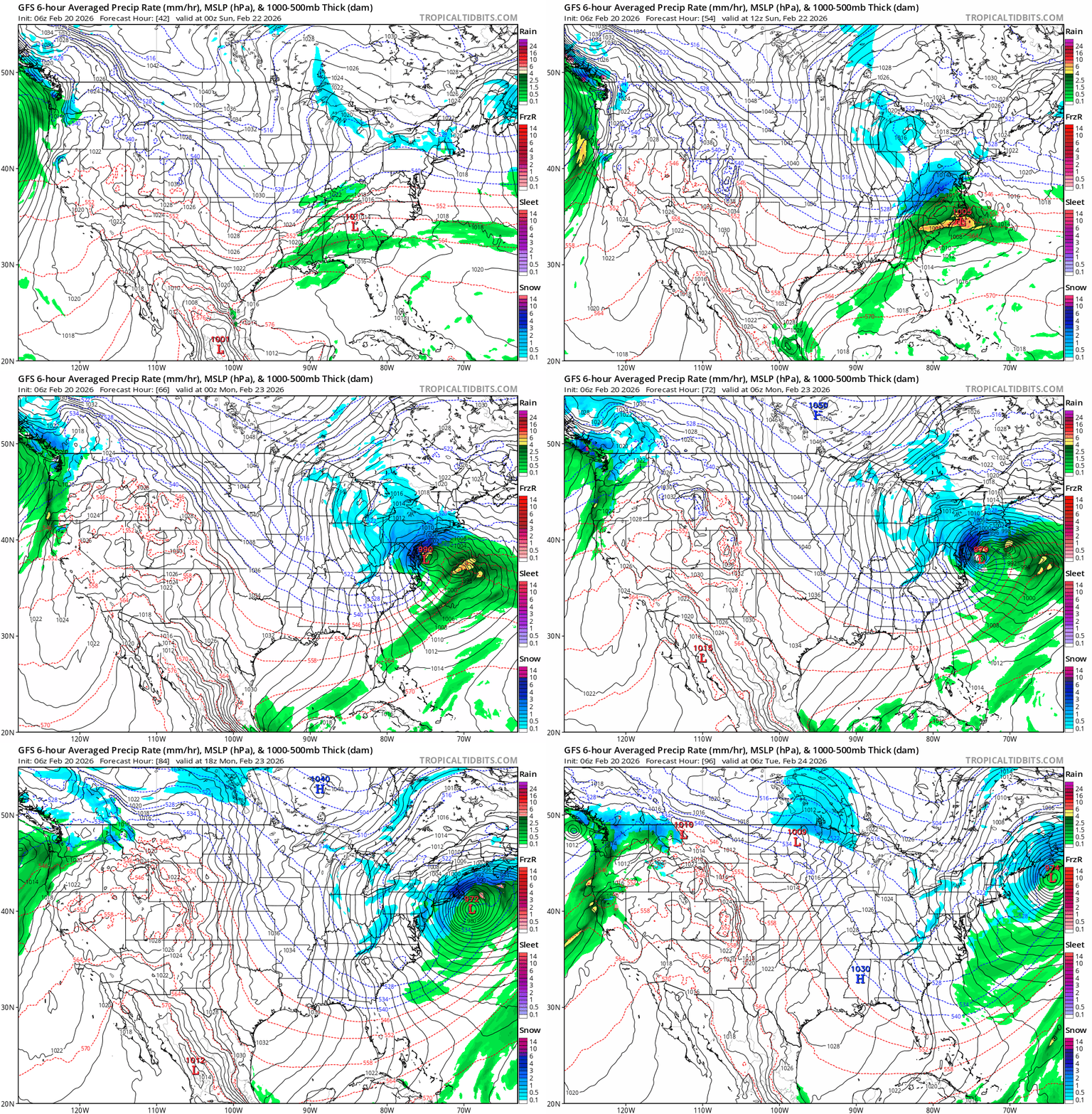
Meteorologists are tracking a developing low-pressure system expected to move off the Southeast or Mid-Atlantic coast late Saturday night into Sunday, then strengthen as it heads out to sea Sunday night into Monday.
While most forecast models agree the storm will bring precipitation to the region — with at least an 80% to 90% chance of something falling from the sky — they diverge sharply on the details that matter most to snow totals.
Friday morning, two primary scenarios still were in play.
If the storm tracks closer to the coast, the Lehigh Valley could see more significant impacts, including a higher likelihood of moderate to heavy snowfall.
A coastal-hugging system also would raise concerns farther east about coastal flooding and strong winds.
A second scenario has the storm passing farther southeast. That still would bring light wintry precipitation to the region, but with fewer overall impacts and lower snowfall totals.
Around 6 a.m. Friday, forecast models and ensemble guidance still were offering a wide range of possibilities, from a stronger storm closer to shore to a weaker system that stays farther south and east.
Overnight model runs showed little consistency or a clear trend, underscoring the uncertainty, the weather service said.
One notable development: the European model now indicates at least light snow accumulations across the entire area.
What forecasters agree on is this: precipitation is likely, snow is possible — even probable — and patience is required.
“All the little pieces that have to come together to make this storm what it is have to be there at the right point and at the right time,” EPAWA meteorologist Bobby Martrich said in his latest video update.
“That’s the key with a thread-the-needle system and that’s exactly what this is.”
How much?
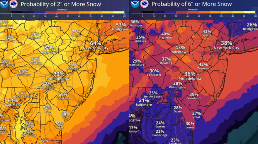
Current early snowfall projections from the weather service suggest a generally widespread 2 to 6 inches or more across much of the region.
Those numbers, however, come with a large asterisk.
Meteorologists caution that totals could change significantly as the storm’s track, strength and timing come into sharper focus.

“Don’t focus on the specific details just yet” is the message behind the forecast. Small shifts in the storm’s path could mean the difference between a nuisance snowfall and a more disruptive winter storm.
Clarity should improve later tonight and into Saturday as new data arrives and models begin to converge, forecasters said.
Until then, residents can at least take some comfort in the timing: With much of the previous storm’s snow finally melting away, the region is getting a brief reset before winter tries again.


