BANGOR, Pa. — The National Weather Service has confirmed a tornado touched down in Northampton County on Tuesday afternoon.
Social media erupted with photos and video of what appeared to be a funnel cloud.
"Several videos received via social media confirm a tornado occurred near Route 191 south of Bangor earlier this afternoon," said a public information statement from the weather service in Mount Holly, N.J.
The weather service had issued a severe thunderstorm watch for the Lehigh Valley lasting until 8 p.m.
It later issued a tornado warning at 3:58 p.m. for East Stroudsburg, Stroudsburg and Bangor lasting until 4:30 p.m.
The warning said the radar indicated a tornado and quarter-sized hail possible.

Videos posted to the Facebook group Slate Belt Chatter show a funnel cloud rotating and descending toward the ground.
"A storm damage assessment will be needed and the results of this assessment will be provided later this week," the weather service statement says.
Tornadoes are classified by the Enhanced Fujita scale, which breaks them into the following categories:
- EF0: 65 to 86 mph
- EF1: 86 to 110 mph
- EF2: 111 to 135 mph
- EF3: 136 to 165 mph
- EF4: 166 to 200 mph
- EF5: >200 mph
On Sunday, the National Weather Service confirmed two tornadoes — both landspout tornadoes — touched down over a half-hour away from the Lehigh Valley in Mohrsville and Shoemakersville in Berks County.
Additional details are not yet available that would help classify the tornado in Bangor, a weather service meteorologist said Tuesday evening.
"We don't have an estimate," the meteorologist said. "We've not done an assessment yet. Once the assessment is done, then we'll have an assessment on the wind speed. We don't know when that will be."
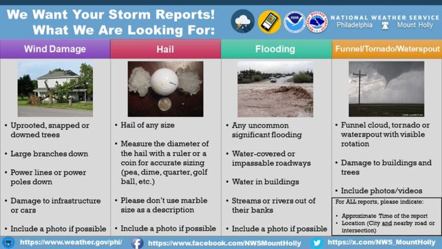
Other posts showed hail in Bangor and nearby areas.
The weather service wrote on X earlier asking residents to pass along reports of hail/wind damage by replying to the post.