

BETHLEHEM, Pa. – There are a few things forecasters can tell you with certainty about the Lehigh Valley’s weather right now.
They know there’s an arctic air mass firmly entrenched across the region that really won’t budge until next week.
They can tell you there’s precipitation on the doorstep that will bring another round of snow to the region on Friday.
What they’re struggling with are potential changes in the near-term and perhaps even during the storm that could bring a swath of higher snow totals to some areas.
A winter weather advisory, again
For the second time this week, the Lehigh Valley is under a winter weather advisory in effect from 4 a.m. to 10 p.m. Friday.
The National Weather Service is projecting total snow accumulations of 3 to 5 inches for portions of central, northern and northwest New Jersey and east central, northeast and southeast Pennsylvania.
Slippery road conditions will be the main hazard, with the storm impacting both the morning and evening commute.
Temperatures are projected to rapidly drop into the teens late Friday night, with any untreated surfaces becoming icy and dangerous.
Why ‘3 to 5’ might be more — or less
Meteorologists will be making refinements to the details right up until the storm arrives, with continued model spread of forecast amounts and the evolution of the storm.
In his latest video forecast, EPAWA meteorologist Bobby Martrich emphasized the uncertainty and the scheduling forecasters follow to convey information to the public in a timely manner.
EPAWA's 1/18 and week ahead outlook, covering:
— Bobby Martrich | EPAWA (@epawawx) January 18, 2024
■ Cold temperatures remain through the weekend
■ Examining the next system with timing, impacts
■ Mild turn heading into the final week of Januaryhttps://t.co/9FinHfTurZ
“There’s a lot of things that go into this,” Martrich said of the forecast package, with first alerts deployed 48 hours ahead of a storm.
Martrich's first call snow map included an area shaded in red that had high potential for 3 to 6 inches, with the caveat of "very broad placement due to its uncertainty."
It’s not ideal when there are so many variables and moving parts to a system that could bring notable changes before the system arrives.
In this case, a coastal low will develop off the Carolina coast Thursday night and track east-northeastward. Meanwhile, a stronger system will head eastward from the Ohio Valley toward the mid-Atlantic, partially phasing with the coastal low. (watch in the animation below)
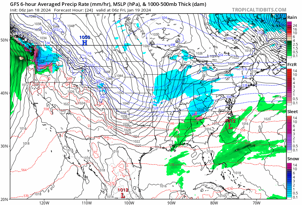
Forecasters know there’s a positive tilt to the coastal low — a sign of a weakening weather system that will limit amplification and keep the low from tracking northward along the coast. Instead, it will head out to sea.
But due to the phasing — or the meeting of the two systems — there will be “ample lift” across the northern mid-Atlantic for much of the day on Friday, among other things to watch.
Martrich on Wednesday mentioned an inverted trough — rapidly rising motion in a column bringing heavier precipitation rates. That feature is expected to be present, bumping snowfall totals for some areas.
Advisory level vs. winter storm warning
The weather service said it’s still expecting an ‘advisory-level’ snow event for most of its coverage area, though some places will see low end amounts while others ‘could flirt with warning criteria snow.’
An advisory alerts the public when a storm is expected to bring a combination of winter weather, including snow, sleet and freezing rain.
Winter storm warnings are issued when a storm is producing or is forecast to produce heavy snow or significant ice accumulations. The criteria for this warning can vary from place to place, taking into account how much snow the area typically gets and the impacts that would result.
