
BETHLEHEM, Pa. — Despite record-high temperatures forecast for the region Saturday, the focus continues to be on the potential for snow early next week and a large-scale transition in the overall pattern.
But the details of when, where and how much snow remain highly uncertain, meteorologists said Friday.
Here’s what we know so far:
A Miller-B system
“Models are in general agreement that a system will track northeastward out of the Tennessee Valley to around West Virginia," the National Weather Service said in its Friday forecast discussion.
"Then transfer to a coastal low near the Delmarva Peninsula in Miller-B fashion before quickly heading out to sea while rapidly intensifying.”
A Miller-B system is a type of nor’easter that hinges on that transfer of energy to the coastal low — along with the timing of when that occurs — to bring a snowier solution.
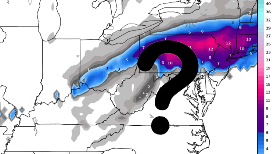
Learn more in the video below with EPAWA meteorologist Bobby Martrich.
The key to snow will be cold air
Right now, the overall pattern isn’t very conducive to significant snowfall along and east of the Interstate 95 corridor.
In fact, the experts say there are a number of factors working against snowier outcomes for the region with Tuesday’s system.
The biggest factor is a lack of antecedent cold air before the storm arrives, along with fairly mild air and easterly winds that will be flowing off the Atlantic on Monday.
The outcome of the storm will be dependent on the coastal low taking over, rapidly intensifying and pulling in enough cold air from the north to switch rain to snow.
Martrich said some models show a confluence of cold air being drawn into the storm.
“This is a very plausible idea, especially because the temperatures here on Monday are going to be generally in the mid- to upper 40s, and this is coming in overnight when temperatures are coming down anyway,” he said.
Model wars
While some models, notably the American (GFS) suggest more of a southern track and more available cold air available for substantial snow, Martrich sounded a word of caution on the outcome.
“Is it going to be this far south? I don’t know that. Nobody knows that. They can guess. They can hope,” he said.
EPAWA's 2/9 and week ahead outlook, covering:
— Bobby Martrich | EPAWA (@epawawx) February 9, 2024
■ Milder temperatures remain thru this weekend
■ Next week storm could bring rain, snow, or both
■ Colder air following the system is still on targethttps://t.co/QShKmhVL8s
The bulk of other ensembles suggest a farther north and warmer storm, and the weather service has generally sided with that guidance in its forecast discussion.
Weather Channel meteorologist Jim Cantore weighed in on X (formerly Twitter) early Friday with his own thoughts, mirroring that of others.
“There will be snow, I just have no confidence in amounts or where it will be, frankly. We will know more on that part by Sunday,” he said.
While there continues to be uncertainty in the final outcome, rain should overspread the area at some point Monday, with the potential transition to snow happening later Monday night into early Tuesday.
But without a deep antecedent cold airmass and temperatures that look to be near or above freezing outside of higher elevations, it would be a wet snow event for many areas where it snows — including the Lehigh Valley.
