
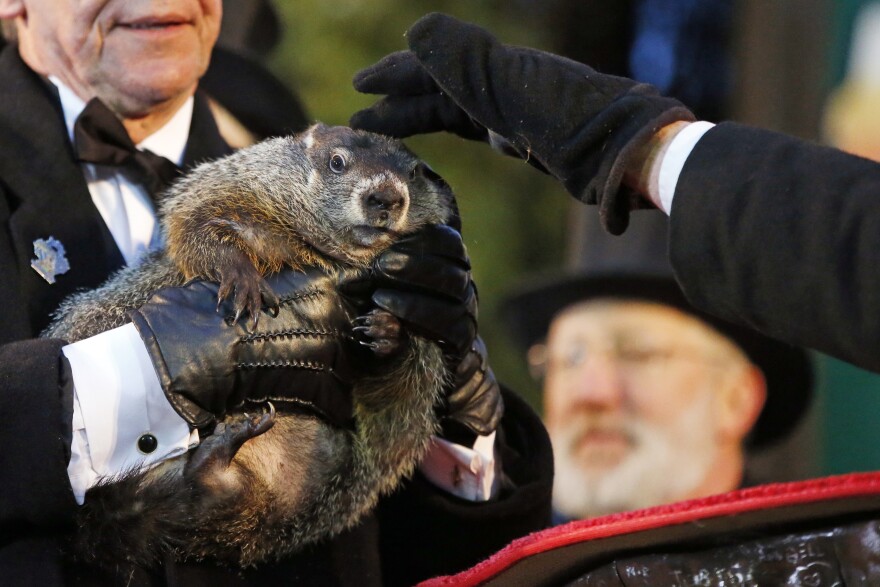
BETHLEHEM, Pa. — The Punxsutawney Groundhog Club gathered Friday to do what it does each year on Feb. 2 — pull a rodent from a tree stump to see if we can expect six more weeks of winter.
This year, Punxsutawney Phil failed to see his shadow, predicting an early spring.
The vernal equinox — the official start of astronomical spring — occurs at 11:06 p.m. Tuesday, March 19. The next day marks the official first full day of spring, roughly six weeks removed from Groundhog Day.
It only takes a calendar, not a group of groundhog handlers in tailcoats and top hats, to shovel a bit of snow on any prognostications Phil and his Inner Circle make.
But what do the real experts say?
The risk for colder weather is increasing
“Hip hip hooray it's Groundhog Day! Not much winter for us in the next week or so,” the National Weather Service in Mount Holly said on X early Friday.
But experts say those declaring winter over are in for a rude awakening, with the risk for colder weather in the second half of February increasing.
Meteorologist John Homenuk, owner of Empire Weather and NY Metro Weather, often shares observations on X regarding ensembles, or groups, of forecasts across various timescales.
Those help to determine how weather is likely to evolve and the chances for hazardous weather or extremes.
One of the most notable features appearing on consecutive ECMWF Weeklies runs is the presence of a retrograding Greenland block in tandem with ridging into the Arctic Ocean. These two features coexisting can lead to prolonged periods of cold, stormy weather in the US and Europe. pic.twitter.com/nztTllZhhg
— John Homenuk (@jhomenuk) February 2, 2024
Late Thursday, Homenuk said two notable features coexisting on the ensembles — including a Greenland block — have been evident.
A Greenland block would force the jet stream to take a southward plunge into the eastern United States, delivering cold air from Canada.
Oftentimes, it can be an instigator for snowstorms in our area.
“It's still too early to say if this exact evolution will come to fruition,” Homenuk said. “Still, the risk for colder weather in the second half of February is increasing.”
It’s the same pattern EPAWA meteorologist Bobby Martrich discussed earlier this week, saying the back half of the month could be more favorable for winter storms to develop.

A window of opportunity for snow
“It should take till Valentine's Day to even potentially get a decent trough [winter] back east and even that might not last,” famed meteorologist and Weather Channel personality Jim Cantore said on X early Friday.
“Feeling the groundhog may have to go with early spring with a spritz of late winter later this morning.”
Meanwhile back east it should take till Valentines day to even potentially get a decent trough (winter) back east and even that might not last. Feeling the groundhog may have to go with early spring with a spritz of late winter later this morning. pic.twitter.com/rkSMALadV2
— Jim Cantore (@JimCantore) February 2, 2024
AccuWeather’s 2024 Spring Forecast also predicted winter is hanging around.
“The window of opportunity for snowstorms in the East will remain open through the first half of March, bringing the chance of plowable snow and providing a nice boost to ski resorts across the region," it said.
"Afterwards, the weather pattern will flip and the risk of significant snowfall will diminish for most of the East Coast."
