LOWER MACUNGIE TWP., Pa. — The proposed Raising Cane's restaurant location in Lower Macungie Township is finally on the way to the township Board of Commissioners, after a recommendation from the planning commission in a busy meeting Thursday.
- A proposed Raising Cane's location at 6240 Hamilton Blvd. was given recommendation by the township Planning Commission, and will head to the elected township board of commissioners on Aug. 3
- With the commission's chairman and vice chairman having stepped down since the last meeting, elections took place for new officers
- A draft of the official town map was discussed by commissioners, as part of what will be a monthslong refinement process
Commissioners also reviewed a sketch for a new Hamilton Boulevard commercial strip mall while taking some procedural actions due to the departure of two board members. They also reviewed a draft for a new township map.
Minor subdivisions also were considered at 2024 Elbow Lane, which was recommended, and 6130 Sauerkraut Lane, which was tabled pending further discussion and technical review.
Cane's coming to board soon
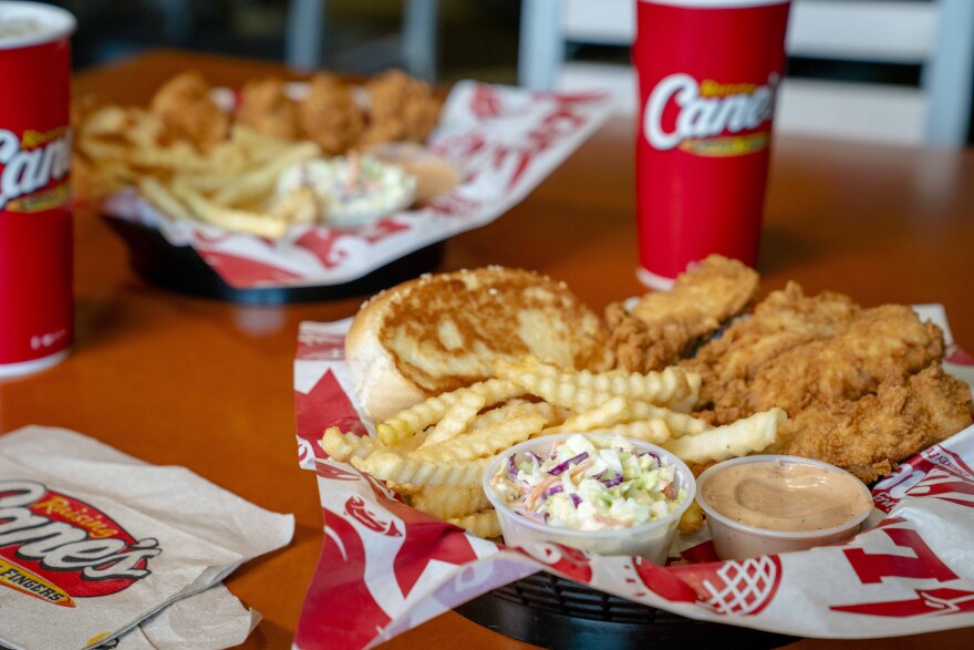
The double-drive-thru Raising Cane's location — the first of their fried chicken chain to appear in the Lehigh Valley — was given recommendation, subject to conditions set by the engineer, such as delivery truck size and garbage regulations.
The fast-food restaurant is set to head to the Board of Commissioners for its Aug. 3 meeting.
If approved, Raising Cane's would be at 6240 Hamilton Blvd., next to Movie Tavern.
Raising Cane's has been before the board multiple times in the past.
Township Planning and Community Development Director Nathan Jones said the township is excited to get the project.
Access to Texas Roadhouse restaurant parking lot was eliminated to reduce traffic concerns. It also was noted that the zoning variance related to lighting occurred to allow the greater amount of lighting requested. The board also repeated conditions set by the engineer.
New strip mall complex
A new project, Hamilton Square, came before the board, but was tabled pending further work with the township engineer.
A sketch plan for 5329 Hamilton Blvd. of two single-story strip-mall buildings was submitted, but it will require time to develop as applicants work with the township.
The property now is cleared and empty and the project proposes "two single store commercial strip center style buildings" on the lot.
Included in the plan are street walls, landscaping work and outdoor patio dining space. Tenants such as restaurants and banking were discussed.
Township officials said that zoning relief requests related to the project likely would have to be pursued through the township Zoning Hearing Board.
Some concern came from Commissioner Martine Minninger related to traffic entering and exiting the site.
"Go back, look a little bit more and then, you know, get the application together and bring it back to us, whatever you end up deciding to do," Minninger said.
A previously approved project on the site involved an Arby's, but it never was built.
Board changes, township map
Since the board's last meeting, Chairman Thomas Beil and Vice Chairman Jon Hammer stepped down for personal reasons, Jones said.
On Thursday, Wesley Barrett was elected chairman after formerly serving as secretary, while Minninger was elevated to vice chair and Ozias Moore to secretary.
"For us, we just need to think about it as where do we want to have future open space, what farm activity fields do we want to preserve for viewsheds on some of our roads?"Lower Macungie Township Planning and Community Development Director Nathan Jones
The planning commission also implemented a technical review process letting engineers address all issues before coming back to the board, Jones said, noting it will save applicants time and money, as well as saving engineers time by allowing them unlimited communication.
A draft of the official map of the township was unveiled. It was described as a legal tool for items such as future infrastructure improvements and to look at where desired land use, such as trails, roads, open space or agricultural preservation can take place.
Jones said now that some projects, such as land preservation goals, have reached conclusion, the township needs to consider future goals.

The maps would be updated to "show what [the township] has achieved, while also looking at other properties the township may be interested in working with owners on acquiring for township or preservation purposes," he said.
"For us, we just need to think about it as where do we want to have future open space, what farm activity fields do we want to preserve for viewsheds on some of our roads?"
He noted properties near South Mountain may be considered for future preservation for stormwater management purposes.
The map development process is set to continue in future meeting in the coming months.


